CAJON PASS, CA. (Pain In The Pass) >> If you were planning on washing your vehicle later today just… don’t. Monday afternoon into Tuesday morning we’re expecting light rain showers with heavy fog for the mountains locations and Cajon Pass.
This cutoff low will continues to weaking and will causes hit and miss light rain showers over SoCal.
Timing of the storm for the Inland Empire and the Cajon Pass. Scattered light rain shower Monday night into early Tuesday morning. Rain showers could start around 5pm-8pm with fog in the Cajon Pass. The Cajon Pass could get about a trace to ¼ of a inch of rain total. The IE could get about a trance to no rain to ¼ inch of rain total. There no chance of snow fall at the top of the Cajon Pass with this storm.
Timing of the storm for the High Desert. Scattered light rain shower could start Monday night into Tuesday morning. The desert cities could get about trace to .20 inch of rain total. Wind Advisory for the high desert on Monday-Tuesday. Gusty winds at times 50 mph gust.
Timing of the storm for Wrightwood Mountains. Scattered light rain/snow showers Monday night into Tuesday morning. Light rain/snow may start around 5pm-8pm. Snow level will be down to 8,000 ft. then drop to 6,500 ft. Tuesday. Wrightwood could get a trace to ¼ inch of rain and about a dusting of snow. Gusty winds at times with 50 mph gust.
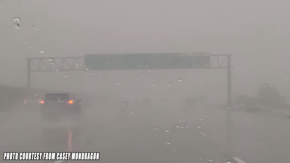
Remember to SLOW DOWN in the fog and rain.
More rain showers for the weekend.
There are more ways to follow the Pain In The Pass. Join the Traffic Group on Facebook with over 137,000 members. Join the group on MeWe. Like us on the NEW page on Facebook. Follow us on NewsBreak, and also follow us on Instagram, Threads, and X aka Twitter.