CAJON PASS, CA. (Pain In The Pass) >> An Cutoff Low will move across Southern California on Tuesday morning. The heaviest rain showers will hit over Orange County and San Diego County with this storm.
As the system continues to spiral over various cities of the forecast area. Some cities will see different weather that will impact. You may see scattered rain showers, snow showers and some can be heavy showers at times with a thunderstorm.
Southern California Weather Force has issued two alerts from Flood Watch to Winter Storm Watch across the forecast zones for Wednesday into Thursday night, March 12-13, 2025.
No chance of major flooding with this storm.
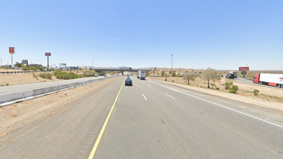
The Southern California Weather Force* has posted the timing of the storm for the Inland Empire and the Cajon Pass, mountains area, and the high desert.
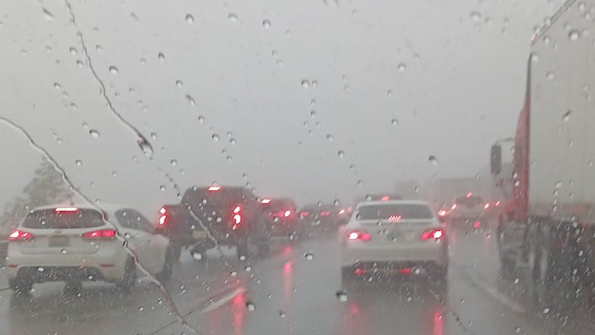
Timing for Inland Empire/Cajon Pass. Rain showers could start around 5am-9am* Tuesday morning with heavy fog in the Cajon Pass with light rain showers. The Cajon Pass/foothills could get less than a ¼ inch to an inch of rain total. The Inland Empire cities could get about a trace to ¼ inch of rain total, each city could vary. There no chance of heavy snow at the top of the Cajon Pass with this storm. A thunderstorm can product higher rain total.
Timing of the storm for the High Desert. The rain showers could start around 6am-10am Tuesday morning for the high desert cities. Scattered light rain showers all day. High desert cities could get about a trace to no rain total, each city could vary. Closer to the Cajon Pass will get more rain than Barstow will. Strong gusty winds are in the forecast.
Timing of the storm for the Wrightwood Mountains. Rain/snow showers could start around 4am-8am Tuesday morning. Snow level will be high at 6,000 ft. Wrightwood could get about a trace to ¼ inch of rain total. Snow above 6k ft could be a dusting to 2+ inches of snow. High totals if a thunderstorm passes by.
If you travel through the Cajon Pass expect traffic due to the weather condition that can change quickly. Remember to SLOW DOWN in the rain, snow or in foggy conditions.
* Cutoff lows do spin around counter clockwise and rain showers can come back in the area.
Heavy rain will be in the forecast on Thursday morning and will last all day/night.
There are more ways to follow the Pain In The Pass. Join the Traffic Group on Facebook with over 156,000 members. Join the group on MeWe. Like us on the NEW page on Facebook. Follow us on NewsBreak, and also follow us on Instagram, Threads, and X aka Twitter.