SOUTHERN CALIFORNIA, CA. (Pain In The Pass) >> There is a risk of Severe Thunderstorms in Sunday forecast and/or tonight. Lines and/or clusters of strong to severe thunderstorms are likely to impact parts of Las Vegas/Primm Neveda and California High Desert area.
Southern California Weather Force has issued a Severe Thunderstorm Watch for Las Vegas/Primm NV. Stateline, effective now through mostly Sunday … and a Thunderstorm Statement for the High and Low Desert, San Bernardino, Riverside Mountains and the Inland Empire cities.

A cutoff low moving through the region will bring storms to Las Vegas on Sunday and Monday morning, mostly along Interstate 15 and west … but increased activity by sunrise and through sunrise and the day on Sunday will make for Severe Thunderstorm criteria.
North to south flow on Sunday will bring storms to the High Desert zones, even the Coachella Valley… leaking off the San Bernardino Mountain could bring storms into the Inland Empire zones as well.
Los Angeles County will not see rain or thunderstorms.
We have posted the timing of the storm for the Inland Empire, the Cajon Pass, the mountains area, and the high desert.
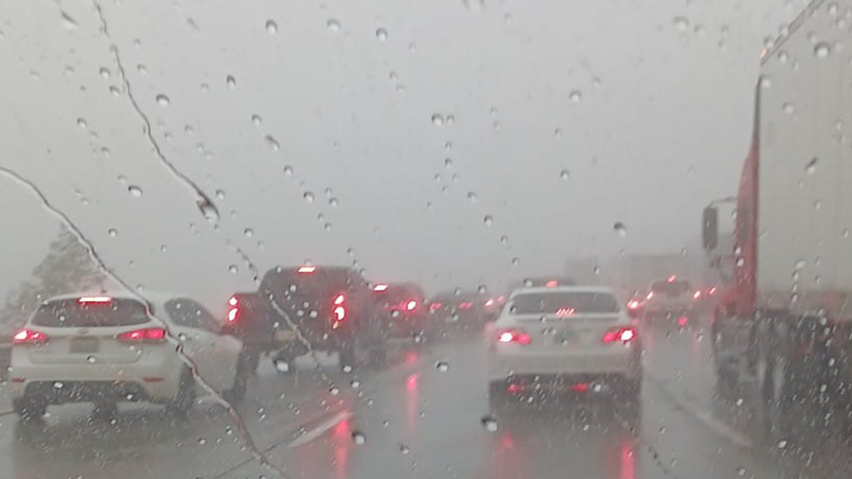
Timing for Inland Empire/Cajon Pass. More rain showers could start around 3pm-6pm Sunday afternoon. The Cajon Pass/foothills could get about a trace half of inch rain. The Inland Empire cities could get no rain to a half of inch of rain, each city will vary. Closer to the foothill could have a better chance of rain showers. There no chance of snow at the top of the Cajon Pass with this storm. Yes its rainning Sunday morning but more rain into the afternoon and into Monday.
Timing of the storm for the High Desert. The scattered moderate rain showers could start around 2pm-7pm of the high desert cities. Cities could get no rain to a half of inch of rain. Barstow area will have a better chance of thunderstorms than Phelan today. More chances on Monday. Gusty winds with each storm that passes by.
Timing of the storm for the San Bernardino Mountain. Moderate rainfall/snowfall could start around 2pm-6pm this afternoon. Snow level will be high then drop around 5,000ft then goes up on Sunday night into Monday. Wrightwood could get about a trace rain to a half of inch total. A dusting of snow to 2 inches is possible in the higher mountain areas. Big Bear area is will get more rain/snow than Wrightwood. Each T-storm cell can very rain total. More chances on Monday. Gusty winds with each storm.
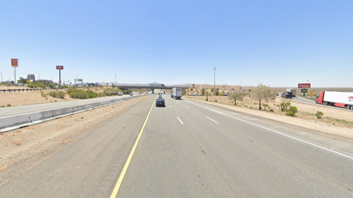
If you travel through the Cajon Pass or on Interstate 15 expect traffic due to the weather condition that can change quickly. Remember to SLOW DOWN in the rainy/foggy conditions.
There are more ways to follow the Pain In The Pass. Join the Traffic Group on Facebook with over 158,000 members. Join the group on MeWe. Like us on the NEW page on Facebook. Follow us on Instagram, and also follow us on Threads, and X aka Twitter.