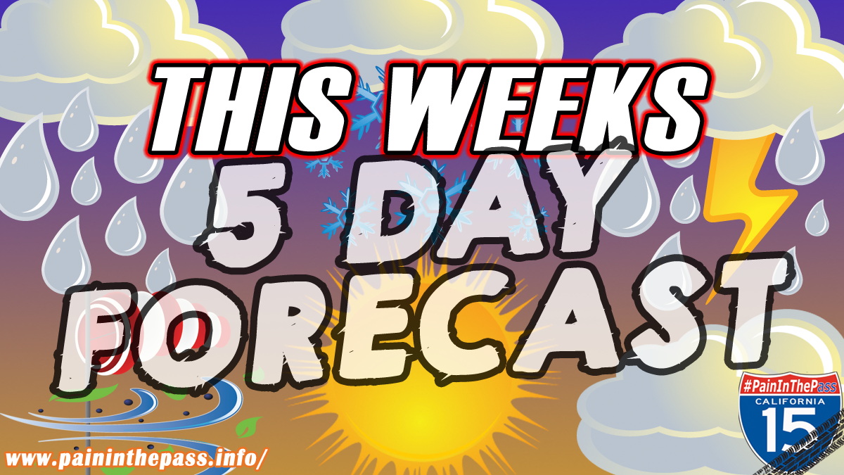
BIG BEAR, CA. (Pain In The Pass) >>Friday afternoon will feature a blend of sun and clouds, with a good chance of pop-up thunderstorms in the afternoon and in the evening. It will be hot and humidity will be up, with highs in the 100s to mid-110s.
Southern California Weather Force is predicting isolated to scattered showers and thunderstorms to sweep across Southern California Friday through the weekend. The of threats are dry lightning, and gusty winds, according to SCWF.
Today flow will be east-northeast. This means that storms forming first over Big Bear Lake will shove outflow through the Lucerne Valley zones, and into parts of the Apple Valley forecast area.
Stateline Primm is not out of the chance of a popup storm.
It looks like the best chances will be mainly in the early to late afternoon hours today. Today’s strom chances are right around 10% and tomorrow’s chances are at 30%.
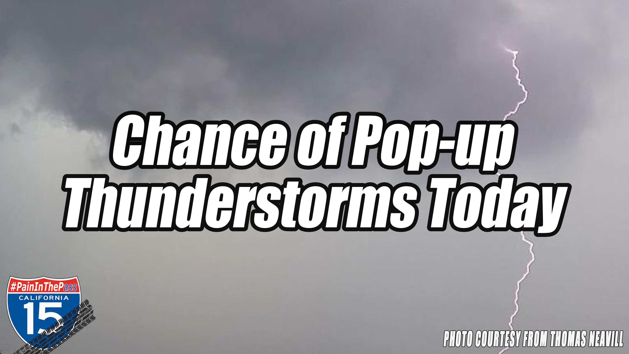
Today thunderstorms will be high-based and can produce little to a lot of precipitation at times, especially considering the faster movement of storm activity. Each thunderstorm cell will also be capable of producing gusty, erratic outflow winds, gusting upwards of 45 to 60+ mph in region.
The heaviest downpours can have the potential to bring a quick 1-2 inches of rain. The risk for localized flash flooding is low today, but cannot be ruled out because the ground is dry and the burn scars areas.
“When Thunder Roars, Go Indoors”
If you travel through the Cajon Pass or on Interstate 15 expect traffic due to the weather condition can change quickly. Remember to SLOW DOWN in the rain and or blowing dust.
There are more ways to follow the Pain In The Pass. Join the Traffic Group on Facebook with over 162,000 members. Join the group on MeWe. Like us on the NEW page on Facebook. Follow us on Instagram, and also follow us on Threads, and X aka Twitter.