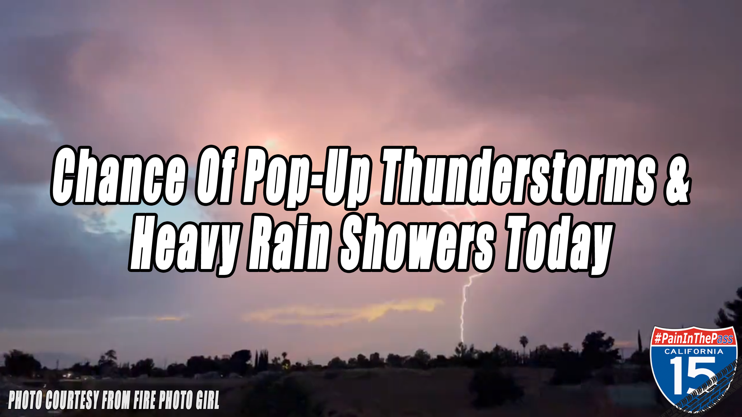
HIGH DESERT, CA. (Pain In The Pass) >> There is a risk of pop-up thunderstorms in Saturday afternoon/evening forecast. This pesky cutoff low remains stalled out and spinning over the Salton Sea. are likely to impact parts of the Big Bear area, Wrightwood area, High Desert cities, and Las Vegas/Primm Neveda area today. Monday storms will be stronger than Sunday storms.
Check out the Southern California Weather Force has issued a Servere Weather Statement for today forecast. The issued zones is for the High and Low Desert, San Bernardino, Riverside Mountains and in the Inland Empire cities.
A localized flash flood risk will develop as storms increase in intensity and coverage throughout the afternoon across the area above.
Make sure you are weather aware and don’t forget that upstream heavy rain can lead to flooding downstream without any rain falling at your location.
Storms could also produce dangerous lightning and outflow-driven dust storms. Another concern is the potential for dry lightning sparking fires in some locations.
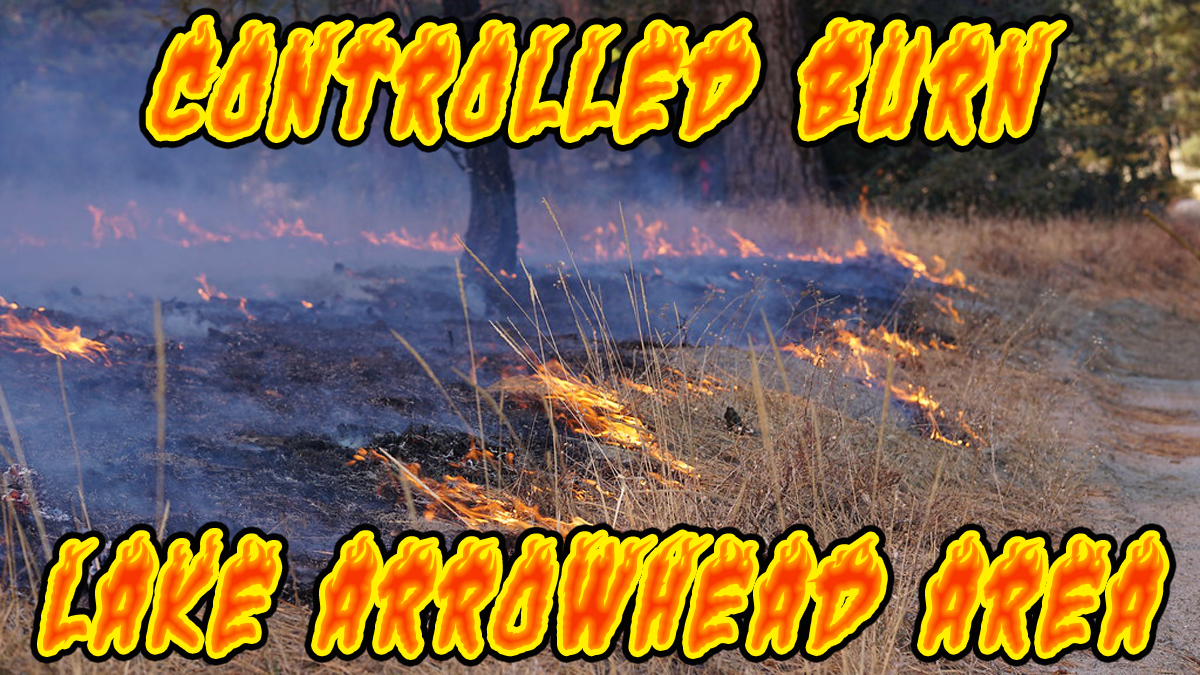
The heaviest downpours can have the potential to bring a quick 1+ inches of rain. The risk for localized flash flooding is low to moderate, but cannot be ruled out because the ground is dry and in the burn scars areas.
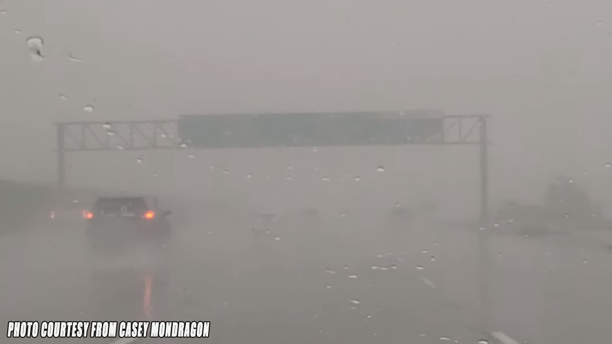
“When Thunder Roars, Go Indoors” If you travel through the Cajon Pass or on Interstate 15, I-40, expect traffic due to the weather condition that can change quickly. Remember to SLOW DOWN in the rain and or blowing dust.
There are more ways to follow the Pain In The Pass. Join the Traffic Group on Facebook with over 163,000 members. Join the group on MeWe. Like us on the NEW page on Facebook. Follow us on Instagram, and also follow us on Threads, and X aka Twitter.