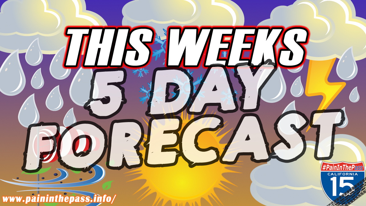
SOUTHERN CALIFORNIA, CA. (Pain In The Pass) >> The start of the week in SoCal is expected to be warm with a light Santa Ana Wind pattern starts on Sunday through Monday, then Tuesday and Wednesday with cloudy skies with local precipitation on Thursday and Friday: light to moderate rain is possible in the Inland Empire cities and the foothills can get moderate rainfall. Mountains will get show about 7,000 feet and drop around 6,000 ft on Friday.
This is reported by the Southern California Weather Force on its official Facebook page.
The Pain In The Pass says, plan trips with consideration of possible obstacles due to foggy weather and rain showers that could be heavy at times.
The timing of this week’s storm will be updated on Wednesday.
Confidence is increasing that we will see several rounds of storms. The first round of storms is expected to arrive by late week, lingering through Saturday. The next round of strong storms should arrive late Sunday or around Monday Nov 24 through at least one to two days of wet weather. This storm will be stronger with a Flood Watch has been issued. Thunderstorms can’t be ruled out in this storm with higher snow level.
Next week could have dangerous debris flows possible in Sheep Creek Wash in Wrightwood and in Phelan.
Timing of the storms could change.
There are more ways to follow the Pain In The Pass. Join the Traffic Group on Facebook with over 165,000 members. Join the group on MeWe. Like us on the NEW page on Facebook. Follow us on Instagram, and also follow us on Threads, and X aka Twitter.