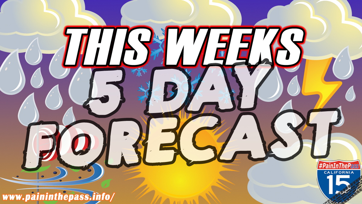
SOUTHERN CALIFORNIA, CA. (Pain In The Pass) >> With isolated light showers through the rest of the night. The first of two weather systems going to hit this weekend will bring another round of significant rain to the region and finally drop the snow level around 6000 feet.
The Southern California Weather Force has issued a Flood Watch again for the Inland Empire Valley, the mountains, and the Cajon Pass on Saturday and on Sunday.
We have posted the timing and info of the storm going to hit the Inland Empire, Cajon Pass, mountains area, and the high desert below.

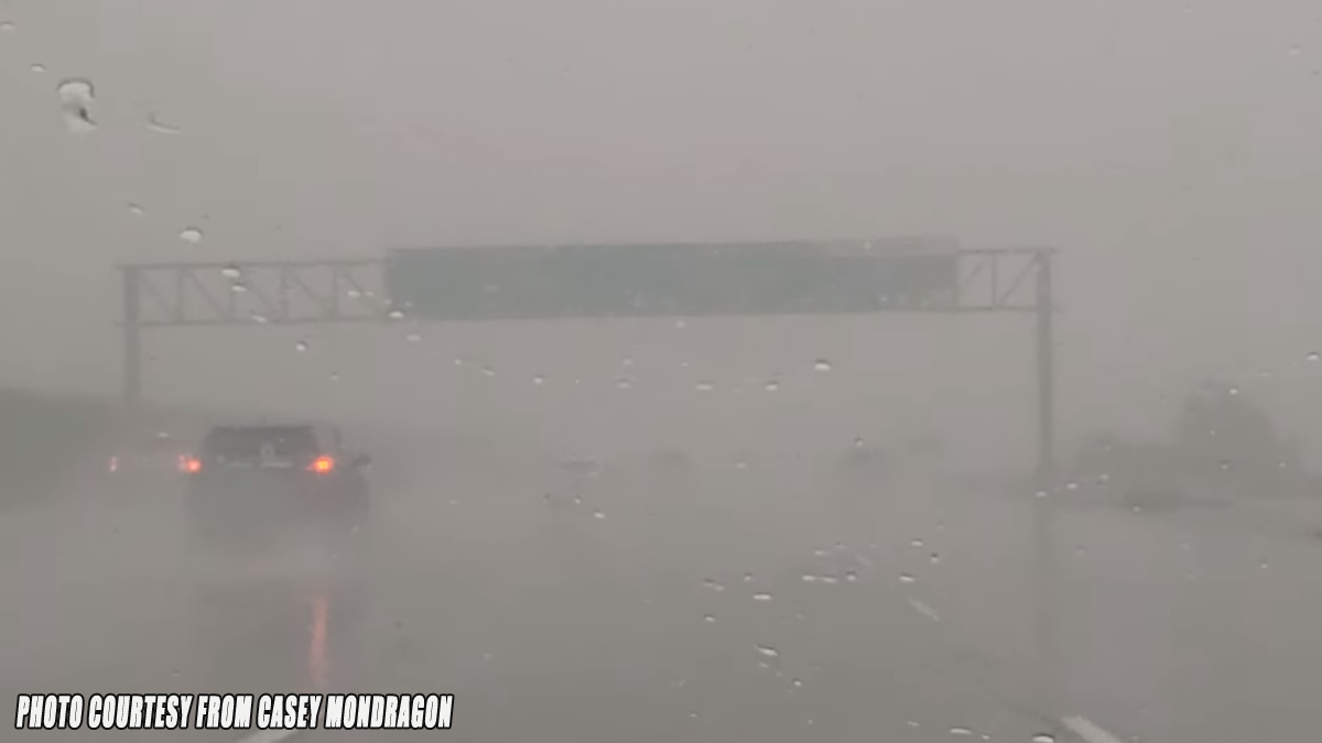
Timing for Inland Empire/Cajon Pass. Light rain showers could start around 11pm-3am on Saturday morning. Heaviest rain will start around 1pm-4pm and will last off and on heavy showers until Sunday morning then light rain shower in the afternoon. Heavy fog/rain in the Cajon Pass. The Cajon Pass/foothills area could get about 2 to 3+ inches of rain total. The Inland Empire cities could get about a 1 to 2+ inch an inch of rain total; each city could vary. No snow for the Cajon Pass.
Timing of the storm for the High Desert. Light rain showers could start around 1am Saturday and last until Sunday afternoon. Heavy rain showers could happen at times. The High Desert cities like Hesperia/Victorville could get about a ¼ inch to ¾+ of a inch of rain total; each city could vary. Less rain in the Barstow area. Gusty winds.
Timing of the storm for the Mountains like Wrightwood. Rain showers could start Friday around 11pm-3am Saturday morning. Heavy rain showers could start around 1pm-4pm. This storm will bring off and on rain showers heavy at times. Snow level will be high around 8,000 feet then drop around 6,000 ft on Sunday afternoon/night. Wrightwood could get about 2 to 3+ inches of rain total; Gusty winds. There is another good chance of flash flooding on Saturday and Sunday for Wrightwood and the Sheep Creek Wash.
If you travel through the Cajon Pass expect heavy traffic due to the weather condition that can change quickly. One-minute light rain then the next minute heavy rain. Remember to SLOW DOWN in the rain or in foggy conditions.
More rain on Wednesday through Friday.
Remember Head Lights “on” in the rain in the daytime.
Slow down to maintain control and leave space between vehicles.
Timing of the storm could change.
There are more ways to follow the Pain In The Pass. Join the Traffic Group on Facebook with over 169,000 members. Join the group on MeWe. Like us on the on Facebook. Follow us on Instagram, and also follow us on Threads, and X aka Twitter.