SOUTHERN CALIFORNIA, CA. (Pain In The Pass) >> The weather is changing from a warm winter to now a cold winter ended a dry spell.
This week weather will be cold and wet with a chance of rain showers next week too.
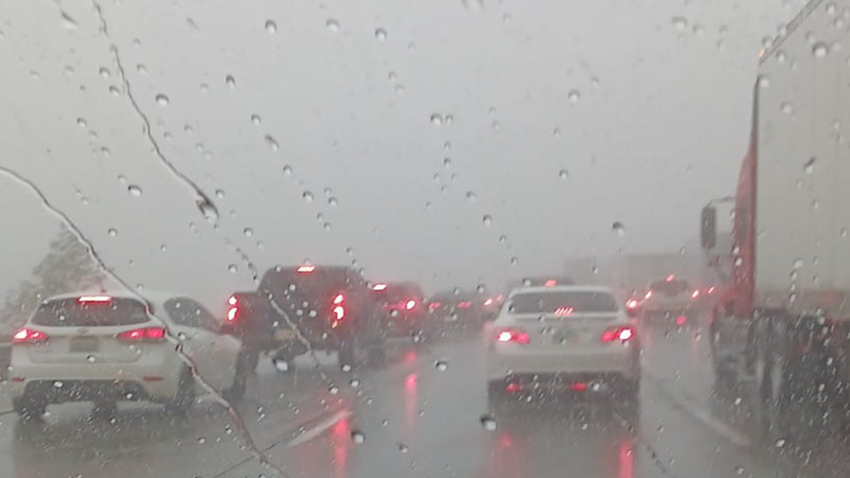
Southern California is bracing for a significant shift in weather as a powerful storm systems going to hit on Monday, Tuesday and on Wednesday.
Click on the Southern California Weather Force for up-to-date weather forecast.
Monday storm will be strong, but less powerful as of Christmas Eve. Less rain on Tuesday and Wednesday. Very strong gusty winds are in the forecast
Flash Flood Watch as be issued on Monday morning for all burned scar area like in the Wrightwood commutes and for Phelan near the Sheep Creek Wash.*
The first initial wave is expected to deliver the heaviest rainfall on Monday, with 1 to 3 inches forecast for the Inland Empire Valley regions and 2 to 5 inches in the mountains and foothills.
There is a risk of thunderstorms are not out of the question.
Snow levels will initially sit around 7,000 feet on Monday, then expected to tumble as colder air moves in on Tuesday into Wednesday to around 4,000ft with a dusting around 3,000ft.
Cajon Pass will see snow, but should be okay to keep Interstate 15 open. The timing for Mountain Pass near Stateline Primm, Nevada may have closures on Tuesday night into Wednesday morning.
Very strong gusty winds up to 70+ mph with these storms.
A second and third waves of storms is slated for Tuesday into Wednesday.

Timeline:
Monday morning: Heavy rain showers for the morning during the morning commute.
Tuesday: Rain Showers all day.
Wednesday: Rain Showers all day, heavy showers at times with the snow levels begin to drop significantly.
Thursday: chance of rain showers for the morning then partly cloudy skies.
*Burn scars area: Residents near recent burn areas should stay alert for weather updates and be prepared to evacuate if debris flow warnings are issued.
Timing could changes.
There are more ways to follow the Pain In The Pass. Join the Traffic Group on Facebook with over 170,000 members. Join the group on MeWe. Like us on the on Facebook. Follow us on Instagram, and also follow us on Threads, and X aka Twitter.