SOUTHERN CALIFORNIA, CA. (Pain In The Pass) >> A low pressure will drop down to off the Southern California coast forming a cutoff low we typically see in the fall.
The flow wrapping around the low will pull tropical moisture from a dying Tropical Storm Mario down in Baja Mexico will travel up into SoCal as early as Tuesday afternoon over the mountains and deserts area. This will be increasing on Wednesday through potentially Saturday or Sunday depending how long the low pressure stalls or eventually moving inland faster than forecast.
What is a cutoff low? It’s an upper-level, low-pressure system that detaches from the main jet stream. Because it’s no longer steered by the fast-moving jet stream winds, it tends to become nearly stationary, remaining in the same area for several days or moves very slowly across the area.
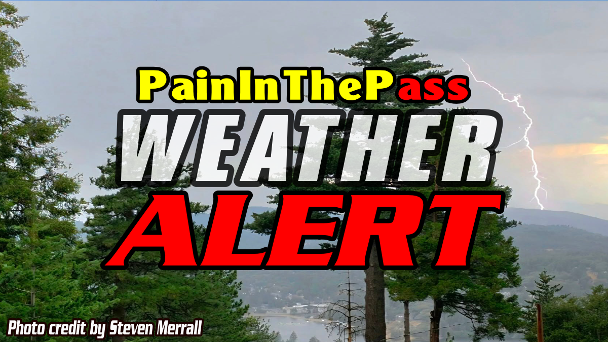
Southern California Weather Force will issued a Weather Watch this week. This will bring rain showers and thunderstorms to Southern California; this will include the coast and the metro cities.
This could lead to widespread flooding in the burn scar areas and in the desert.
Each day, storms may and will produce dry lighting and could spark a wildfire. If you see smoke or flame call 911 asap.
There are more ways to follow the Pain In The Pass. Join the Traffic Group on Facebook with over 163,000 members. Join the group on MeWe. Like us on the NEW page on Facebook. Follow us on Instagram, and also follow us on Threads, and X aka Twitter.