SOUTHERN CALIFORNIA, CA. (Pain In The Pass) >> the tail-end of a cold front is set to move into Southern California on Tuesday late morning into the afternoon/night.
This is a start that will end the unseasonably warm weather for a couple of days.
Tuesday weather will be mostly cloudy with a chance of light rain showers and Wednesday will be partly cloudy.
The timing of the rain showers.
Inland Empire/Cajon Pass showers could start around 8am-11am and last off and on until late Tuesday night/Wednesday early morning. Foggy conditions for the Cajon Pass.
High Desert cities could get light showers that should start around 11am-2pm last and last off and on until late Tuesday night/Wednesday early morning. Gusty winds with 40-50mph gust.
Wrightwood will get light showers that could start around 11am-2pm last and last off and on until late Tuesday night/Wednesday early morning. Gusty winds with 30-40mph gust. Dusting of snow is possible above 7,000 feet.
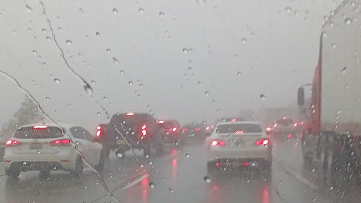
Weather Alert for the Cajon Pass could see light rain showers/drizzle with heavy fog.
If you travel through the Cajon Pass or on Interstate 15 expect traffic due to the weather condition can change quickly. Remember to SLOW DOWN in the rain or in foggy conditions.