
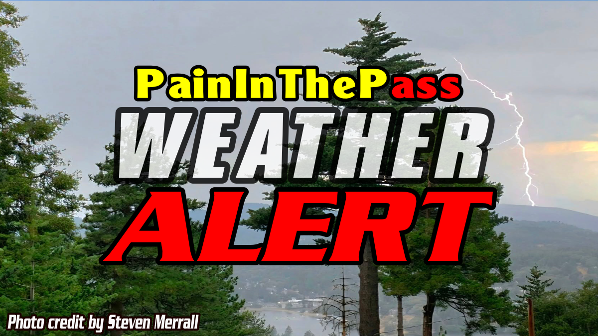
SOUTHERN CALIFORNIA, CA. ( Pain In The Pass) >> A monsoon flow is kicking into high gear this week for SoCal. Each day will bring a chance of rain showers and thunderstorms with possibly dry lightning in the forecast starts on Sunday and will linger into next Saturday.
It looks like the best chances will be mainly Sunday into Monday and again on Thursday and Friday but the mountains and deserts communities will see action each day.
Each thunderstorm cell could be capable of producing rain showers, gusty, erratic outflow winds, gusting upwards of 45 to 60+ mph in region.
The heaviest downpours can have the potential to bring a quick 1+ inches of rain. The risk for localized flash flooding is low, but cannot be ruled out because the ground is dry and the burn scars areas.
“When Thunder Roars, Go Indoors”
If you travel through the Cajon Pass or on Interstate 15 and on I-40. Expect traffic due to the weather condition can change quickly. Remember to SLOW DOWN in the rain and or blowing dust.
Each storm is a chance of a new start of a brush fire is possible due to lighting across the mountains and desert area. For fire weather considerations a lightning strike could ignite a wildfire.
With weather updates from the Southern California Weather Force and the Zone Watch app. They will post updates on the weather, so join both.
There are more ways to follow the Pain In The Pass. Join the Traffic Group on Facebook with over 172,000 members. Join the group on MeWe. Like us on the on Facebook. Follow us on Instagram, and also follow us on Threads, and X aka Twitter.
If you do get into an accident, click or call the trusted professionals of Lerner, Moore, Silva, Cunningham & Rubel Professional Law Corporation.