CAJON PASS, CA. (Pain In The Pass) >> A quick inside slider storm going to hit Thursday night into Friday morning. With light to moderate rain fall of Inland Empire Valley and the Cajon Pass. A chance of snow showers (not to heavy) with the snow level could drop to around 6,000 feet.
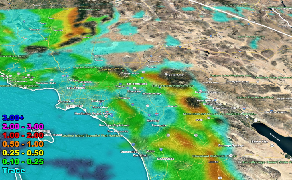
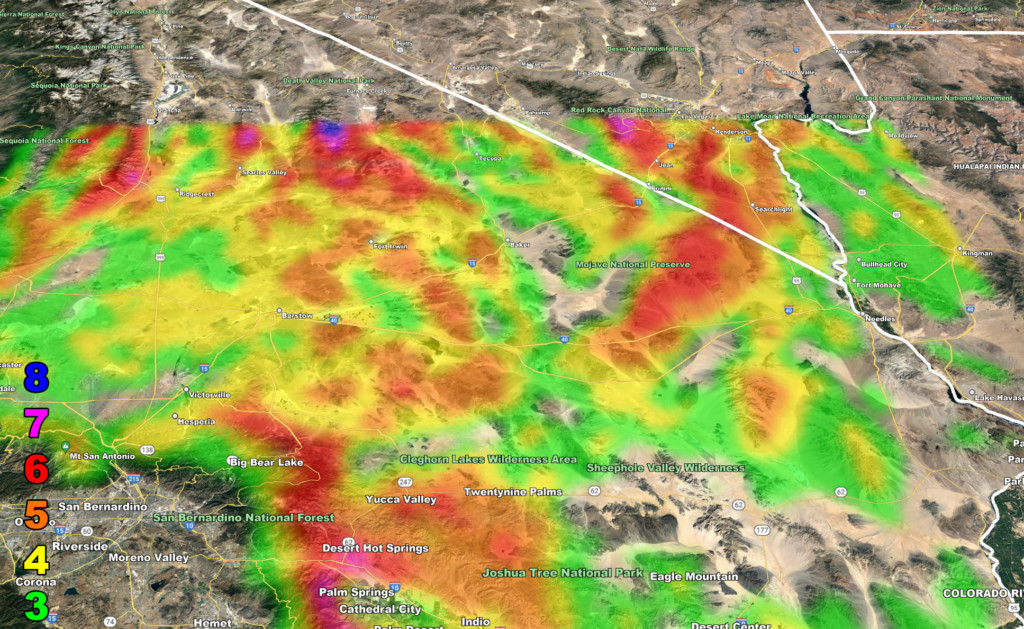
The Southern California Weather Force Weather Service has issued a Winter Weather Advisory for the mountains see snow map below. Also issued a Wind Advisory for the high desert with gust up to 60+ mph with a small chance of rain showers. The wind map below, the wind scale is colored #1 is weak wind gust and the #8 colored is very strong gust.
Snow Map below
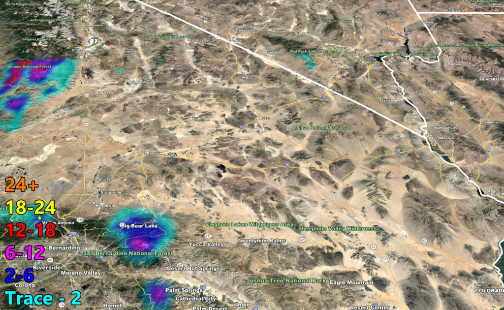
Wind map below
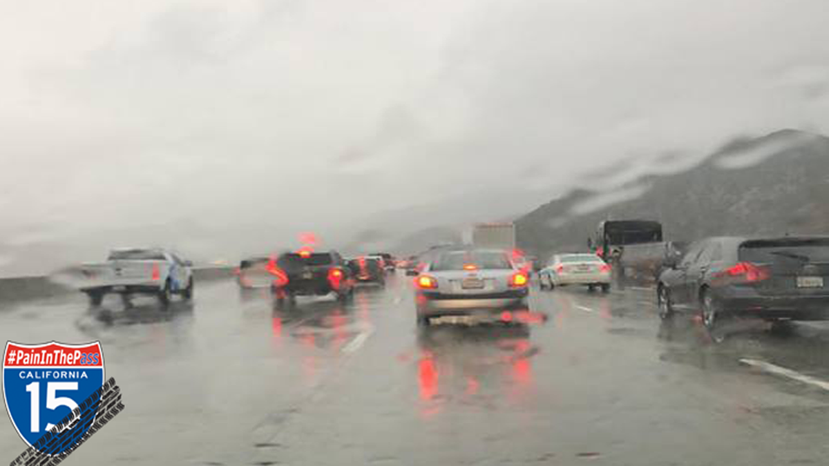
Please slow down in wet weather.
There are more ways to follow the Pain In The Pass. Join the Traffic Group on Facebook with over 109,000 members. Join the NEW group on MeWe. Like us on Facebook, Follow us on Twitter and Instagram.