CAJON PASS, CA. (Pain In The Pass) >> A strong Pineapple Express/atmospheric river will sweep across Southern California Thursday early morning and pass through Friday afternoon then rain showers after. Various areas of the forecast area will see different weather impacts cities with strong gusty winds, chances of rain, and snow showers.
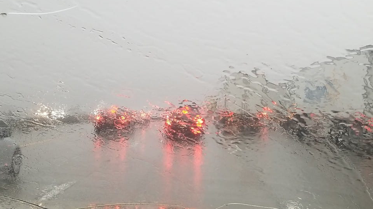
Fog and heavy rain showers expected for the morning commutes.

Timing of the storm for the Inland Empire and the Cajon Pass. Rain showers could start around 3-5am with fog in the Cajon Pass. The Cajon Pass could get about a 2 to 3 of a inches of rain total. The IE could get about a 1 to 2 inches of rain total. There is a chance of thunderstorms. There no chance of snow at the top of the Cajon Pass.
Timing of the storm for the High Desert. Light rain to heavy showers may start around after 3am-5am. The desert cities could get about a ½ of inch to a inch of rain total. There is a chance of thunderstorms. Gusty winds at times
Timing of the storm for Wrightwood Mountains. Snow showers may start around 2am -5am. Snow level will be down to 7,000 ft. then drop to 6,000 ft on Friday morning. Wrightwood could get about a 1 to 2+ inches of rain total. Wrightwood could get a dusting to 2 inches snow total tops. Strong Gusty winds at times.
Remember to SLOW DOWN in the rain or in the ice/snow. Remember you can not see black ice on the roadway.
There are more ways to follow the Pain In The Pass. Join the Traffic Group on Facebook with over 136,000 members. Join the group on MeWe. Like us on the NEW page on Facebook. Follow us on NewsBreak, and also follow us on Instagram, Threads, and X aka Twitter.
You must be logged in to post a comment.