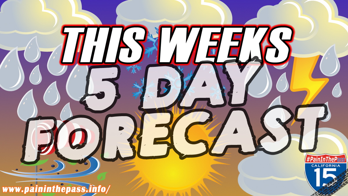
HIGH DESERT, CA. (Pain In The Pass) >> The Southern California Weather Force Forecast calls for mostly cloudy skies for Sunday with a 30% chance of scattered afternoon and evening showers and thunderstorms. Today high will be mid 100s to 110+ degrees. Mountains temps will be in the mid 80s to 90+ degrees.
Monday Forecast will be nearly the same as Sunday.
A promising cooler weather pattern change begins on Tuesday with temperatures will feel more normal or below normal temps across Southern California.
A ridge of high pressure has continued to affect SoCal. Today thunderstorms can produce little to a lot of precipitation at times, especially considering the faster movement of storm activity. Each thunderstorm cell will also be capable of producing gusty, erratic outflow winds, gusting upwards of 45 to 60+ mph in region, that can make a dust storm.
The peak time of a afternoon pop-up thunderstorm can start before 1pm to 4pm and can last until 7pm with the heat in the air.
The heaviest downpours can have the potential to bring a quick 1-2 inches of rain. The risk for localized flash flooding is low to modrate, but cannot be ruled out because the ground is dry and the burn scars areas.
“When Thunder Roars, Go Indoors”
If you travel through the Cajon Pass or on Interstate 15 expect traffic due to the weather condition can change quickly. Remember to SLOW DOWN in the rain and or blowing dust.
There are more ways to follow the Pain In The Pass. Join the Traffic Group on Facebook with over 145,000 members. Join the group on MeWe. Like us on the NEW page on Facebook. Follow us on NewsBreak, and also follow us on Instagram, Threads, and X aka Twitter.