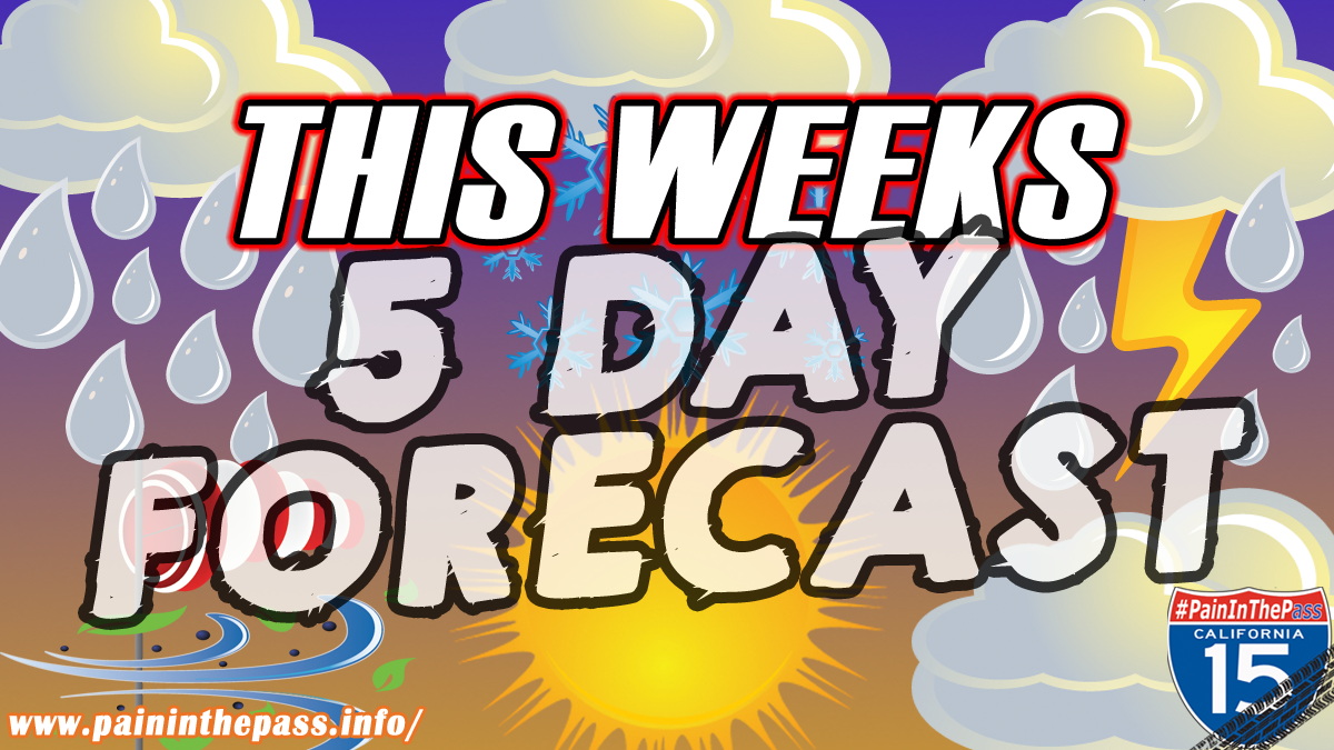
CAJON PASS, CA. (Pain In The Pass) >> An cold trough of a Low Pressure will move into Southern California on Sunday afternoon/evening into Monday with leftovers on Monday night*.
As the system continues to come in from the north and northeast. Various cities of the forecast area will see different weather that will impact different. You may see scattered rain showers, snow showers that can be heavy at times with a thunderstorm, and strong gusty winds.
Southern California Weather Force has issued an alert for a Thunderstorm Watch across the mountains and high desert cities. See map below.

The heaviest downpours can have the potential to bring a quick 1+ inch of rain from a thunderstorm. The risk for localized flash flooding is low to moderate, but cannot be ruled out because the ground is dry and in the burn scars areas from brush fires earlier in the year or from previous years.
The Southern California Weather Force has posted the timing of the storm for the Inland Empire and the Cajon Pass, mountains area, and the high desert.
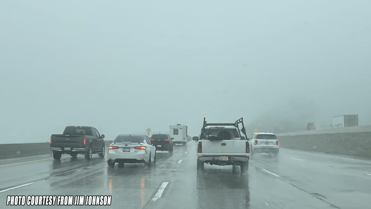
Timing for Inland Empire/Cajon Pass. Rain showers could start around 3pm-6pm Sunday afternoon with off and on rain showers until Monday with heavy fog in the Cajon Pass. The Cajon Pass/foothills could get about a half of inch to 1+ inches of rain total. The Inland Empire cities could get about a trace to ½+ inch of rain total, each city could vary. There is a chance of snow (not heavy) at the top of the Cajon Pass with this storm.
Timing of the storm for the High Desert. The rain showers could start around 3pm-6pm Sunday afternoon for the high desert cities. Scattered rain showers all day/night into Monday. Strong gusty winds are in the forecast with Thunderstorm Watch for the High Desert cities. Dusty of snow is not out of the question. The Desert cities could get about a trace to ½+ inch of rain total, each city could vary.
Timing of the storm for the Wrightwood Mountains. Off and on Rain/snow showers could start around 3pm-5pm Sunday into Monday. Snow level will be high at 5,000 ft. Wrightwood could get about an inch + of snow total. Rain could be a one inch to 2+ inches if a thunderstorm or two passes by. The snow level should drop around 4,000 feet Monday afternoon/evening with leftovers showers.
If you travel through the Cajon Pass or on Interstate 15 expect traffic due to the weather condition that can change quickly. Remember to SLOW DOWN in the rain, snow or in foggy conditions.
* The timing could change.
There are more ways to follow the Pain In The Pass. Join the Traffic Group on Facebook with over 156,000 members. Join the group on MeWe. Like us on the NEW page on Facebook. Follow us on NewsBreak, and also follow us on Instagram, Threads, and X aka Twitter.