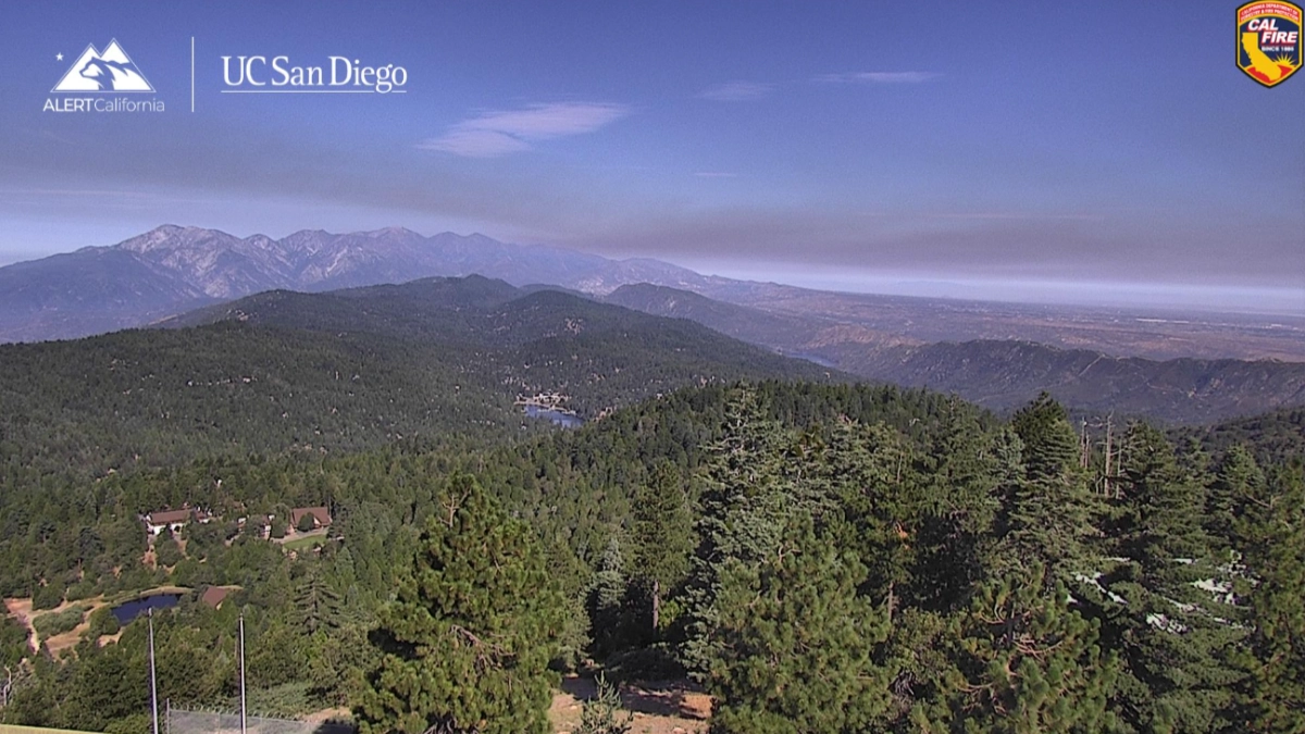
CAJON PASS, CA. (Pain In The Pass) >> The next winter weather system will be bringing more rain showers with lower snow levels for the mountains and strong gusty winds.
A strong squall line will bring moderate to heavy rainfall at times with strong gusty winds. Scattered thunderstorms are not out of the question late Tuesday night into Wednesday morning.
WINTER STORM WARNING has been issued at 10pm Tuesday February 17, 2026, until 7am on Wednesday morning.
The Southern California Weather Force has posted the timing of this storm for the Inland Empire, Cajon Pass, mountains area, and the high desert below.
Off and on scattered rain/snow showers before the main storm hits.
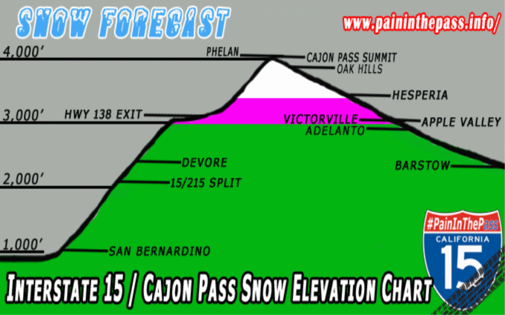
Timing for Inland Empire/Cajon Pass. Light rain showers could start around 7pm-10pm on Tuesday night. Heavy rain showers could start around 12am-3am. Heavy fog/rain in the Cajon Pass. The Cajon Pass/foothills area could get about 1 to 2+ inches of rain total. The Inland Empire cities could get about a ½ inch of rain total; each city could vary. Snow level will drop to 4,000 feet to 3,000 ft and that’s the middle of the Cajon Pass. The pass should stay open with this storm with a dusting to 1 inch of snow.
Timing of the storm for the High Desert. The rain showers could start around 8pm-10pm on Tuesday. Heavy rain showers could start around 12am-3am. The High Desert cities like Hesperia/Victorville could get about a ½ inch to a inch of rain total; each city could vary. Less rain in Apple Valley area. Strong gusty winds up to 70 mph before and after the storm. Snow chance from the town of Baker/Mountain Pass area to Primm Stateline,
Timing of the storm for the Mountains like Wrightwood. Heavy snow will start around 9pm-11pm last Wednesday morning. Snow level will be around 5,000 feet and drop on Wednesday to around 4,000 ft. with a dusting at 3,000ft. Wrightwood could get about 6 to 12+ inches of snow total; Strong gusty winds up to 70 mph.
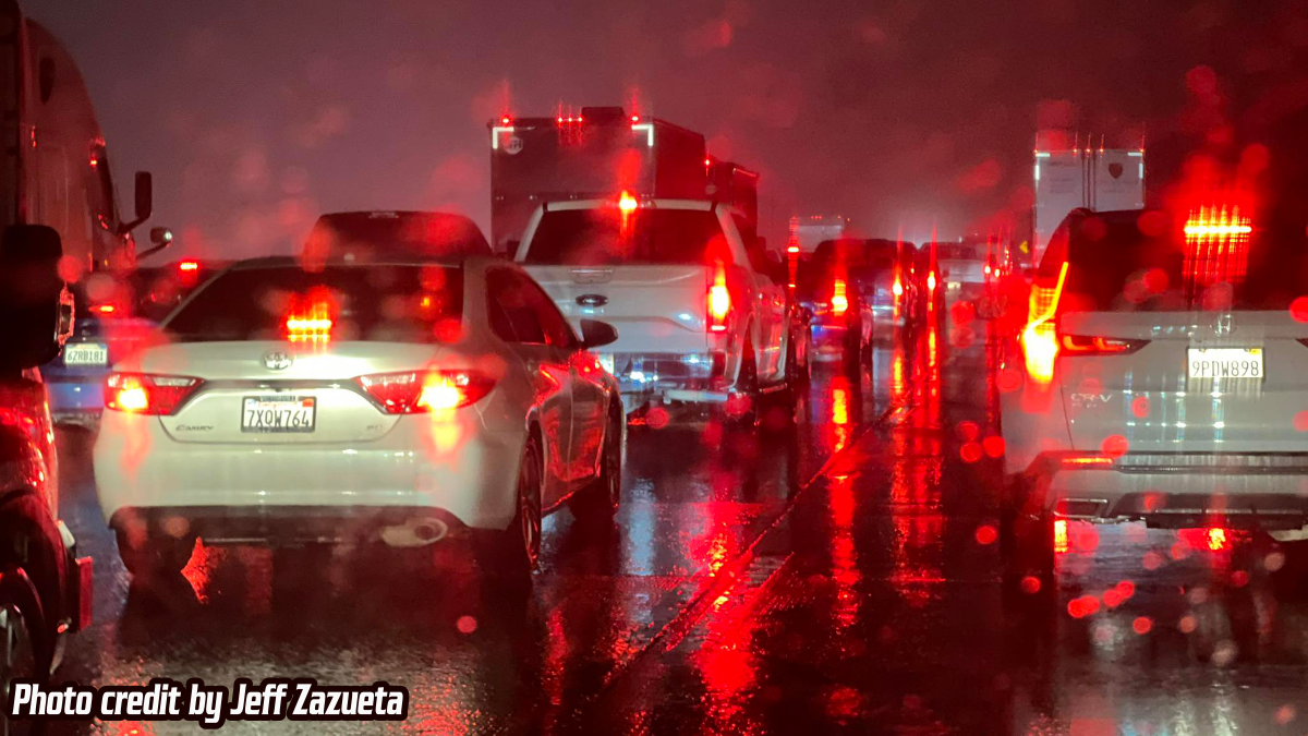
If you travel through the Cajon Pass expect heavy traffic due to the weather condition that can change quickly. One-minute light rain then the next minute heavy rain or snow. Remember to SLOW DOWN in the rain or in foggy conditions.
If you are traveling on Interstate 15 going to Stateline or Las Vegas tonight into Wednesday morning the snow level will be low in the Mountain Pass area. Heavy snow fall is expected and may closed the freeway for hours.
Please get prepared now if you travel on Interstate 15. Make sure you have a full tank of gas if you become stranded on the freeway. Wednesday morning will be the coldest part of the storm. Remember to SLOW DOWN in the rain or in the snow. Remember you cannot see black ice on the roadway.
CHP and Caltrans will try to keep the Cajon Pass and Mountain Pass Interstate 15 lanes free of snow and ice, but if the weather turns bad under 32°, they may close the freeway down.
Slow down to maintain control and leave space between vehicles.
Timing of this storm could change. There is more cold rain and snow on Thursday.
There are more ways to follow the Pain In The Pass. Join the Traffic Group on Facebook with over 170,000 members. Join the group on MeWe. Like us on the on Facebook. Follow us on Instagram, and also follow us on Threads, and X aka Twitter.