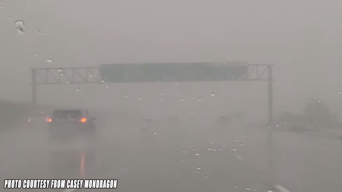
CAJON PASS, CA. (Pain In The Pass) >> The strongest storm in years going to hit Southern California Wednesday night into Thursday. The Southern California Weather Force Weather Service has issued a Flood Warning effective Wednesday night into Thursday night for all areas of the Inland Empire. This storm will hit mainly late Wednesday night into Thursday morning with the heavy rain.
Timing of the storm for the Inland Empire and the Cajon Pass. Light rain showers with heavy fog will continue Wednesday night. The heavy rain showers will start around 3am-5am Thursday morning. Storm estimate a total of 2 to 3 inches of rain in the Inland Empire Valley with more at the foothills. No snow for the Cajon Pass. Thunderstorms will also be possible Thursday afternoon and evening.
Timing of the storm for the High Desert. Off and on rain showers will continue Wednesday night with the heavy rain shower start around 5am Thursday morning. The storm estimate total a ½ to one inch of rain. Gusty winds up to 70+ mph in some spots like in Phelan – Hesperia area.
Timing of the storm for Wrightwood Mountains. Off and on rain/snow showers will continue through the night. The heavy showers will start around 4am-5am that can be heavy at times. The snow level starts around 7,500 feet then will drop to 6,000 feet Thursday night. The storm estimate total of rain is about 3 inches and a inch to 2 inches of snow in the town. Gusty winds up to 70+ mph in the mountains.
**Timing/Weather may change.
There are more ways to follow the Pain In The Pass. Join the Traffic Group on Facebook with over 117,000 members. Join the NEW group on MeWe. Like us on are new page on Facebook. Follow us on Twitter and Instagram.