CAJON PASS, CA. (Pain In The Pass) >> Fast Moving Storm System to move through Southern California Wednesday morning. No snow for the Cajon Pass with this storm. Info from the Southern California Weather Force Weather Service.
Timing of the storm for the Inland Empire and the Cajon Pass. Rain showers should start around 3am-5am with heavy fog in the Cajon Pass. Rain shower can be heavy at time. A chance of Isolated Thunderstorm or two can happen in the morning. The Cajon Pass could get about 1 to 2+ inches of rain total. The IE could get about ½+ to 1+ inches of rain total due to pockets of heavy rainfall. No snow for the Cajon Pass.
Timing of the storm for the High Desert. Rain showers may start around 4am-6am. Rain showers can be heavy at time. A chance of pop-up Isolated thunderstorm or two can happen. The desert cities could get about a ½ of inch to a 1+ inches rain total. Gusty winds at late morning thought the night with gust up 50mph.
Timing of the storm for Wrightwood Mountains. Snow showers may start around 3am-6am with morning snow level will be at 6,000 feet then down to 5,000 ft. with the wind chill. Rain/snow showers can be heavy at time. Isolated thunderstorms or two can happen. Wrightwood could get about 1 inch to 2+ inches of snow total. Winter Weather Advisory has been issued at this time. Gusty winds at late morning thought the night with gust up 40mph.
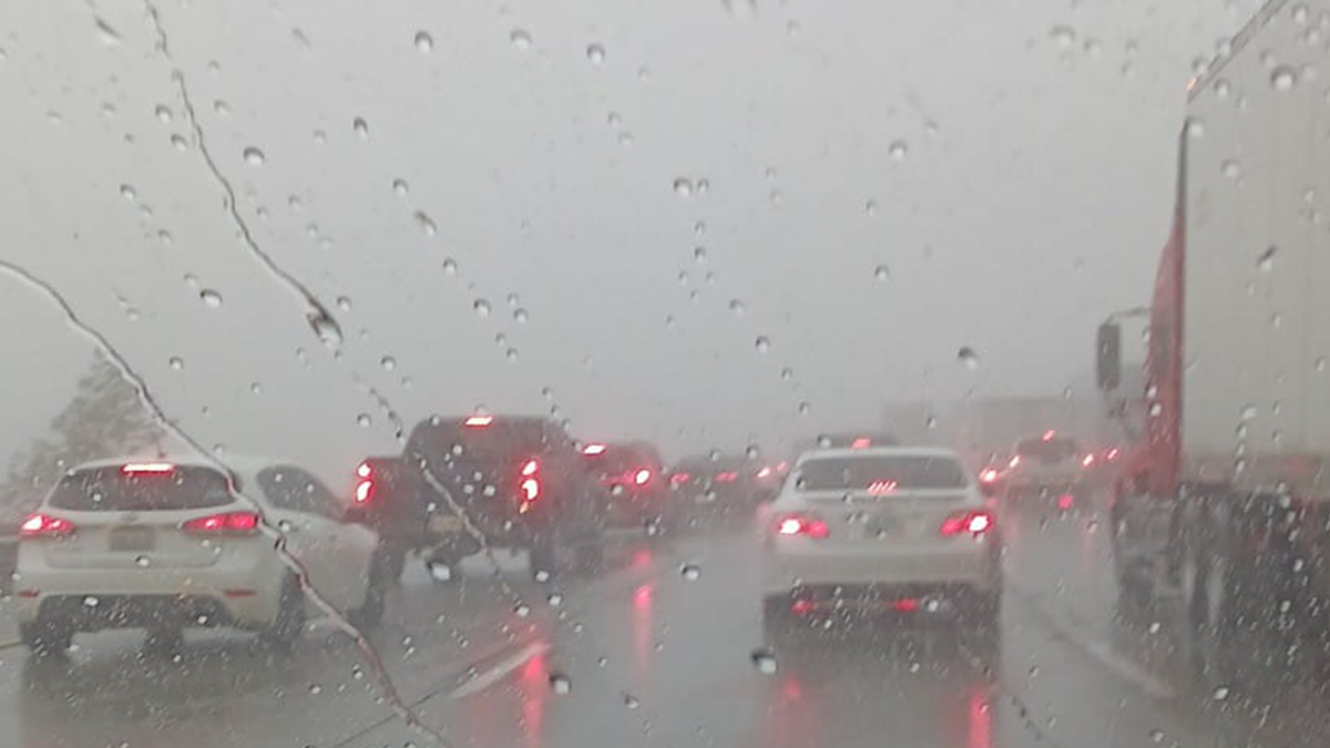
If you travel the Cajon Pass Interstate 15. Expect traffic due to the weather condition. Remember to SLOW DOWN in the rain and fog.
Weather Alert: The next weather system is set to move over the region on Sunday.