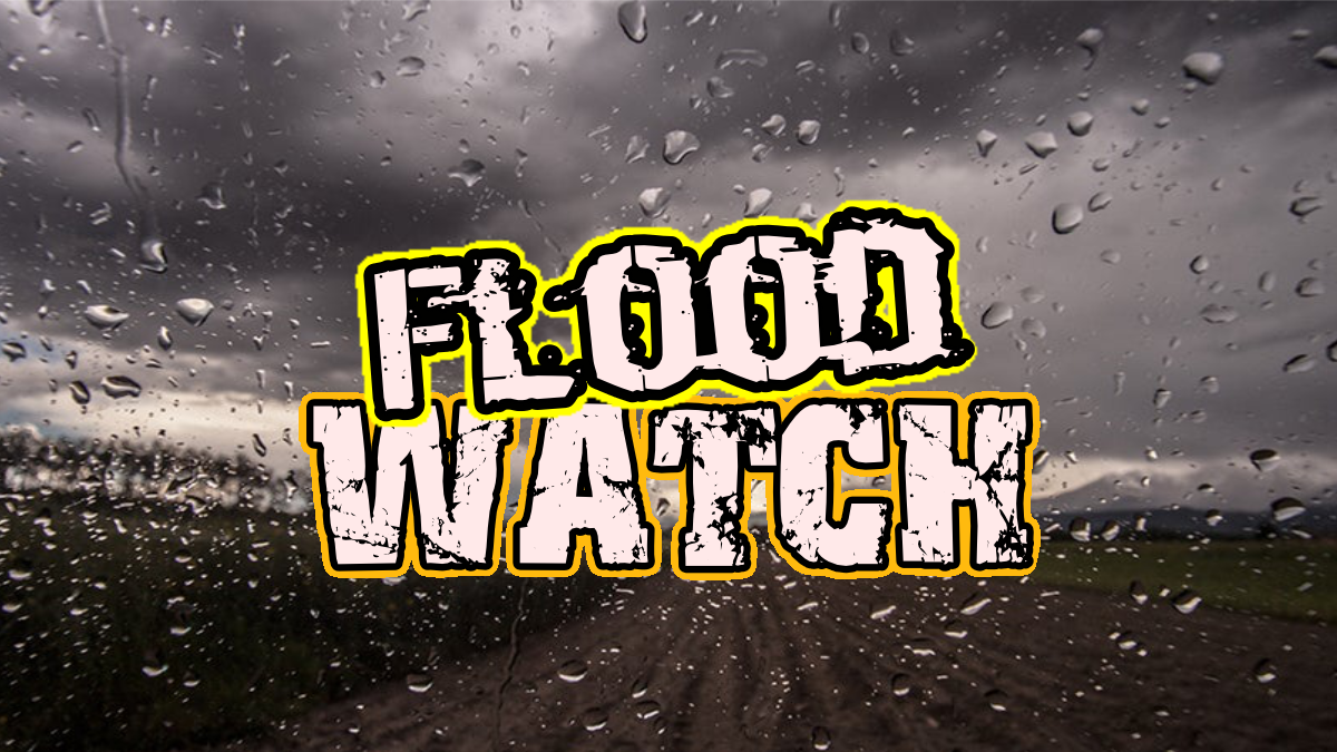
CAJON PASS, CA. (Pain In The Pass) Southern California Weather Force Meteorologists issued the Flood Watch that probably turn into an Advisory for communities of the Inland Empire, Apple and Lucerne Valleys and in the San Bernardino Mountains.
The Atmospheric River (Pineapple Express) weather system is expected to bring a couple days of heavy rainfall with a chance of thunderstorms and potential flash flooding to parts of Southern California.
The peak of the heaviest rainfall will be on Wednesday Christmas Eve and on Thursday Christmas Day. Rain showers will start on Tuesday afternoon/night and last until Friday late night maybe Saturday morning.
The Cajon Pass/foothills area could get about 4 to 6+ inches of rain total. The Inland Empire cities could get about 2 to 4+ inches of rain total; each city could vary. A thunderstorm can product higher rain totals. This will result in isolated flash and urban flooding on Wednesday and on Thursday.
Mountains will have high snow elevation that means more rain than snow. Mountain cities could get about 6 to 8+ inches of rain total; The snow level will be at 8,000 feet on Wednesday then drop around 6,000 ft on Friday into Saturday morning.
High Desert will get some rain showers with gusty winds 50 mph gusts starting on Tuesday afternoon. High Desert cities could get about 2 to 4+ inches of rain total less for Barstow area.
The rain showers should clear out by Saturday.
Check with the Southern California Weather Force for up-to-date information on the weather.
Wet weather is expected in the coming days, and the Pain In The Pass reminds all motorists to use extra caution when driving in the rain.
🚗 Drive Smart, Stay Safe:
✅ Slow down — wet roads reduce traction and increase stopping distance.
✅ Turn on headlights and wipers when visibility is low.
✅ Avoid cruise control on slick surfaces.
✅ Allow extra space between you and the vehicle ahead.
✅ Stay alert for standing water and possible hydroplaning.
Even light rain can make roads slippery — take it slow and arrive safely. Together, we can help keep the roadways safe.
There are more ways to follow the Pain In The Pass. Join the Traffic Group on Facebook with over 166,000 members. Join the group on MeWe. Like us on the on Facebook. Follow us on Instagram, and also follow us on Threads, and X aka Twitter.