CAJON PASS, CA. (Pain In The Pass) >> Another cold of low storm will passed by Southern California, but some scattered showers and snow showers will continue to move across SoCal throughout the weekend. There is a chance for a isolated thunderstorms are possible each day.
Timing of the storm for the Inland Empire and the Cajon Pass. Fog and scattered very light rain showers could start around 12am-3am Saturday morning. There will be breaks of rain this weekend, more rain will happened Saturday afternoon around 3pm and for Sunday into the evening. The Cajon Pass could get about ½ to 1+ of a inches of rain total. The IE could get about ¼ to 1+ inches of rain total. There is a chance of thunderstorms each day. There no chance of snow fall at the top of the Cajon Pass.

Timing of the storm for the High Desert. Light scattered rain shower could start Saturday afternoon into Sunday around 3pm. The desert cities could get about less than ¼ of inch or more like a trace of rain total. There is a chance of thunderstorms each day. A Wind Advisory for the high desert all weekend. Gusty winds at times 40-50 mph gust.
Timing of the storm for Wrightwood Mountains. Winter Weather Advisory for the mountains area. Scattered rain/snow showers should start Saturday afternoon around 3pm-5pm. Snow level will be down to 6,000 feet then drop to 5,000 ft on Sunday. Wrightwood could get ½ inch to 1 inch of rain and about 1 inch to 2+ inches of snow total. Gusty winds at times 40-50 mph gust.
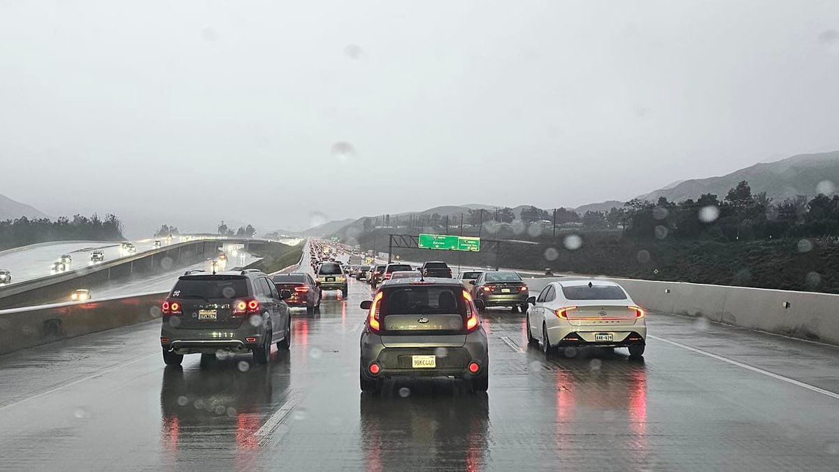
Remember to SLOW DOWN in the fog and rain.
There are more ways to follow the Pain In The Pass. Join the Traffic Group on Facebook with over 139,000 members. Join the group on MeWe. Like us on the NEW page on Facebook. Follow us on NewsBreak, and also follow us on Instagram, Threads, and X aka Twitter.